-
-
To begin seeing heatmaps from a Field Level view, navigate to the Fields tab from on your Farmobile DataEngine℠ platform.
-
-
-
From the Fields tab, select EFRs
-
By selecting the EFRs, the different EFR activities are categorized.
-
Users can select an activity they would like to see heatmaps for.
-
In this example, after selecting harvesting EFRs, all field boundaries that have data will show yield heatmaps.
-
-
-
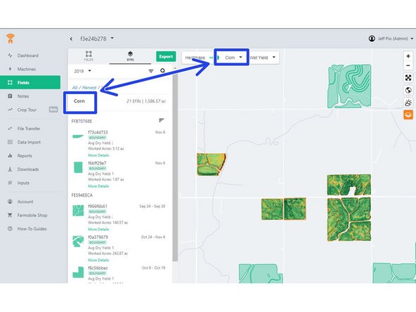
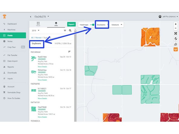
Users can also filter by crop by:
-
Selecting the desired crop in the column to the left of the map.
-
Or, by selecting a crop in the crop selector in the above portion of the map.
-
-
-
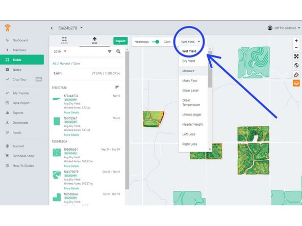
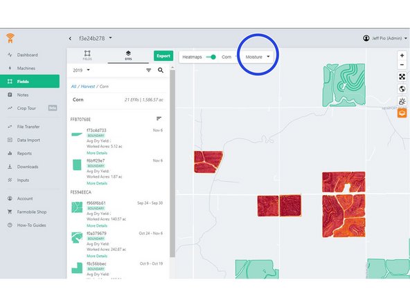
To change which attribute is mapped out, users can select data they would like to see in the drop-down selector box. This allows users to select different attributes within a fields displayed.
-


